

A useful first goal is to explain where you are, where you intend to go and how you will check your progress. Look for a course that gives you time to make those decisions with an instructor watching and offering feedback.
You do not need to arrive knowing compass bearings. Ask the provider what experience, walking fitness and equipment the specific session requires. A course advertised as navigation may focus on a park, woodland paths or more demanding terrain. Compare that setting with the places where you expect to use the skill.
Choose the kind of practice you need
| Your learning goal | What to look for in the course description | What to confirm |
|---|---|---|
| Understand a map | Symbols, scale, contours and matching features to the ground | Which map system is used, and whether a map is supplied |
| Use a map and compass together | Outdoor exercises with individual feedback | How much practice you get, the terrain and the assumed starting level |
| Plan a simple journey | Route choices, progress checks and alternative plans | Whether you plan and discuss a route yourself |
| Explore natural clues | Observation of landscape, sun or other environmental clues | How the instructor checks observations against other navigation information |
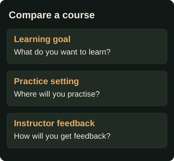
These are editorial comparison questions. They are not a qualification framework or a ranking of providers.
Map reading
Start by understanding what the map represents. Symbols and scale help you interpret features and distance; contours describe the shape of the land. Ordnance Survey's introductory material explains these elements using British mapping examples. The key and conventions of the map you actually use still matter. Ordnance Survey: Map reading made easy ↗
Ask whether you will compare mapped features with the ground during the session. A map-reading demonstration and a chance to explain your own decisions are different learning experiences.
Route planning
A route line alone does not tell you how much supported practice a course offers. Ask whether you will choose a route, identify features to check along it, discuss timing and explain an alternative if the plan needs to change.
For a concrete syllabus example, the UK NNAS Bronze award covers beginners using paths, tracks and other linear features, with map interpretation, basic compass work and simple route planning. That is a useful comparison reference; it does not establish that a school in this directory delivers that award. NNAS: Bronze Navigator Award ↗
Questions to take to an instructor
- Is this suitable for someone who has never used a map and compass?
- Where does practice take place, and how demanding is the walking?
- Which maps and compass do I need? Can I borrow them?
- Will I practise decisions myself and receive feedback?
- How do you teach progress checks and responding to uncertainty?
- Are digital navigation tools covered, and what are their limits in this session?
- What are the teaching language, group size and accessibility arrangements?
- What changes if the weather or a participant's needs affect the plan?
Turn the description into a choice
Illustrative comparison: one course promises an introduction to map symbols; another describes learner-led navigation exercises outdoors. If your goal is practice with feedback, ask the first provider whether that is included. If your goal is understanding a map before a longer course, the shorter introduction may fit. The titles alone do not settle the choice.
A small preparation task: read two course descriptions and write down one intended learning outcome, the practice setting and one unanswered question for each. This is a booking exercise, not a test of field competence.
Find instruction
Explore navigation-related training, then check the provider's own programme. The existing Jack Mountain Bushcraft School profile is one starting point: its official course catalogue ↗ lists map-and-compass and barehand-navigation topics, while explicitly distinguishing curriculum topics from complete programmes. Confirm which topics are included in the programme you are considering. This is an example, not an endorsement or a current-place promise.
About this guide
AI-assisted editorial course-selection guide. Sources checked 6 November 2026. No navigation instructor has reviewed this guide, and no participant or field-test evidence is claimed. It helps you prepare questions for instruction; it does not establish readiness for an independent journey.